UN
12 Whittington Road
£ 245,000
Description
We don't have a Description for this property.
- Bedrooms
- 4
- Bathrooms
- 0
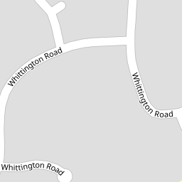

Leaflet © OpenStreetMap contributors
The heatmap indicates the level of crime in the area. The color of the heatmap indicates the crime severity and recency.
Metrics Year-on-Year
- Average area value
- 256,741.00 £Decreased by 11.11 %
- Average area rental value
- 1,045.00 £/moIncreased by 8.52 %
- Est rental Yield
- 4.88 %Increased by 22.00 %
- Crime Rate
- 1.00 %Unchanged by 0.00 %
from 288,824.00 £
from 963.00 £/mo
from 4.00 %
from 1.00 %
Nearby Schools
| Name | Type | Ofsted | Distance |
|---|---|---|---|
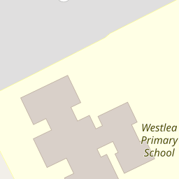
| Westlea Primary School | Academy Converter | Good | 0.12 KM |
| Shaw Ridge Primary School | Academy Converter | Good | 0.76 KM |
| Oliver Tomkins Church Of England Infant And Nursery School | Voluntary Aided School | Good | 1.16 KM |
| Oliver Tomkins Church Of England Junior School | Voluntary Aided School | Good | 1.16 KM |
| Hazelwood Academy | Academy Sponsor Led | Good | 1.17 KM |
Images
Nearby Streets
| Name | Average Price | Average Sqft | Distance |
|---|---|---|---|
| Heathcote Close | £ 0 | 0 | 0.00 KM |
| Flint Hill | £ 0 | 0 | 0.00 KM |
| Redcap Close | £ 0 | 0 | 0.00 KM |
| River Ray Industrial Estate | £ 325,000 | 0 | 0.00 KM |
| Idovers Drive | £ 260,000 | 0 | 0.00 KM |
Nearby Transport
| Name | NLC | TLC | Distance |
|---|---|---|---|
| Swindon (Wilts) | 3333 | SWI | 4.31 KM |
Nearby Listings
| Address | Price | Type | Score | Distance |
|---|---|---|---|---|
| Whittington Road, Westlea, Swindon | £ 425,000 | BUY | 6 / 10 | 0.00 KM |
| Whittington Road, Westlea, Swindon, Wiltshire, SN5 | £ 450,000 | BUY | 7 / 10 | 0.03 KM |
| Aldborough Close, Westlea, Swindon | £ 70,000 | BUY | Unknown | 0.18 KM |
| Aldborough Close, Westlea, Swindon | £ 70,000 | BUY | 5 / 10 | 0.18 KM |
| Eastleaze Road, Eastleaze, Swindon | £ 250,000 | BUY | 7 / 10 | 0.22 KM |
Nearby Properties
| Address | Price | Distance |
|---|---|---|
| 5 Whittington Road | £ 298,000 | 0.00 KM |
| 39 Whittington Road | £ 365,000 | 0.00 KM |
| 57 Whittington Road | £ 272,000 | 0.00 KM |
| 42 Whittington Road | £ 240,000 | 0.00 KM |
| 6 Whittington Road | £ 240,000 | 0.00 KM |